
As a luxury traveler, you want the best of everything. From unique locations to top-notch amenities, you expect the highest standards from your hotel. And rightly so! After all, you’re spending your hard-earned money on this trip. But what you really want is a real VIP service: be treated like a rock star when you enter the hotel, have a personal concierge at your beck and call, enjoy the best room and suites in the house, don’t pay for amenities like breakfast or spa and get free upgrades when available.
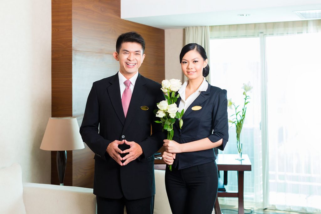
Did you know that even five-star-hotels provide very different service to their customers? Everybody pays the same price, but the service you get varies depending on your status. If a VIP arrives at the hotel, everything is prepared, the hotel staff is waiting to greet you, and you find some surprises in your room. If the hotel recognizes you as VIP you get the VIP treatment even if you don’t book the presidential suite. Without extra charge, just because you are a VIP.
How to become a VIP?
In the old times, becoming recognized as a VIP was not easy. Only with an expensive membership like American Express Centurion, you could access the VIP service in many hotels. But to become a Centurion member of American Express you do not only have to spend much money with your credit card, but pay a hefty fee of up to 15,000 USD in the first year alone.
Nonetheless, if you have that much money to pay this fee or not: Wouldn’t it be better to put the money directly in the travel and hotel budget instead of giving it to a huge credit card company?
New technology. New VIPs!
But what if there was a way to get the same service without having to pay an annual fee? The team of the Swiss company Deluxe Targets found a solution. Based on more than 20 years of experience in the deluxe travel industry, Deluxe Targets provides a new and exclusive website for everyone who wants to enjoy the best of everything when they travel. And this all without having to pay any annual fees. The name of this new online service is “PrivateUpgrades”. It is still in the beta phase and only available in English, but it will be launched in other languages soon. Hotels are available worldwide.
How does it work?
For travelers, PrivateUpgrades works simple. With one simple click, you can find out if the hotel of your choice is supported by PrivateUpgrades. If it is, you get access to a long list of benefits and services that are normally reserved for high-paying guests.
This works for a selection of some of the world’s most luxurious hotels. These include Marriott Bonvoy, World of Hyatt, and Leader Club from Leading Hotels of the World. If a traveler is looking for something even more luxurious, they also offer Small Luxury Hotels (SLH) and I Prefer from Preferred Hotels.
What is the secret of PrivateUpgrades?
The technical background is a bit more complex. PrivateUpgrades directly access specials booking systems and sees in real time which rooms are available. You immediately will see the best prices for the best rooms in the house. As soon as you book your room, it gets directly submitted into the hotels’ reservation system and marked as “VIP”.
When you arrive at the hotel, you will be welcomed as a VIP and will enjoy all the benefits that come with it.
This VIP benefits you can expect
Depending on the hotel, there are different benefits for VIPs. But some services are available in almost every hotel that is supported by PrivateUpgrades. These services include: a free upgrade to the next room category, free early check-in and late check-out, complimentary breakfast, welcome present in your room, spa credit, preferential treatment when booking restaurants and spa in the hotel.
How to join PrivateUpgrades?
From now on, simply being a member of PrivateUpgrades gets you the same rock star VIP treatment that cost 15,000 USD with Amex Centurion before. And the best thing: It’s absolutely free! You can find more information about this new service on their website or directly sign up for a free membership.
So, if you want to enjoy the best of everything when you travel without having to pay any annual fees, you should sign up for a free membership with PrivateUpgrades today.
No matter if you’re traveling for business or pleasure, as a solo traveler or with your family, PrivateUpgrades has something for everyone.
Other travel portals still needed?
As long as you go luxury, you do not need any other travel booking portal anymore. PrivateUpgrades offers you the best of everything. And in opposite to most of the other travel booking platforms, with PrivateUpgrades you can still collect your status points for Hilton Honors, Marriott Bonvoy, World of Hyatt or IHG Rewards.
More information and free signup: https://www.privateupgrades.com