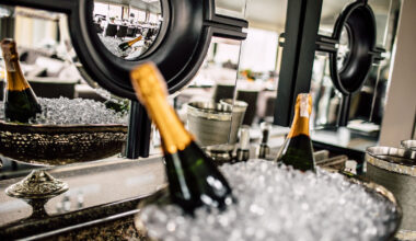
Ever wondered why luxury hotels are the ultimate hype? It’s not just about the jaw-dropping interiors, the over-the-top amenities, or the top-notch service that makes them the best. The unparalleled comfort, convenience, and relaxation whisk you away to a world of pure indulgence.
Think fluffy robes, dreamy beds, and a concierge who caters to your every whim. It’s like stepping into a wonderland of opulence where your every desire is a reality.
It sounds great. But luxury hotels aren’t all the same. Each brand has its specifics, which are important for travelers to know. That’s why we’ve decided to create guides that look deeper into some of the world’s best luxury brands. This time – we introduce you to Belmond.
If you’d like to experience the greatness of the Belmond Hotels yourself, book your stay through PrivateUpgrades. You’ll enjoy VIP benefits. Upgrades upon arrival, impressive hotel credits, complimentary breakfast, and more.
But now – let’s dive in!
History of Belmond Hotels
Belmond is a renowned hotel brand that has captivated travelers since its creation in 1976. Formerly known as Orient Express, Belmond boasts a collection of 49 exquisite hotels, trains, and river cruises. Each of which – offers a truly sensational experience.
From the timeless elegance of Venice, Rio, and Paris to the spirit of adventure at Machu Picchu and Angkor Wat. Not to mention the breathtaking Swiss Alps and the majestic Andes or the mysterious rivers of Myanmar. Whichever place you decide to visit, Belmond takes you on a voyage of unparalleled wonder.
So how did it begin? It started with the legendary Belmond Hotel Cipriani in Venice, where the company received the keys in 1976. A year later, it began collecting the carriages for the iconic Venice Simplon-Orient-Express. It launched in 1982, transporting travelers to La Serenissima in unmatched style. Since then, Belmond has meticulously curated a collection of travel adventures, each with its rich story.
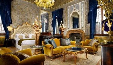
Style and design
Belmond’s DNA is all about craftsmanship and design. Each of Belmond’s unique properties is a masterpiece. It captures its breathtaking location’s spirit, culture, and local materials. From the luxurious Belmond Eagle Island Lodge in Botswana to the stunning Belmond Cap Juluca in Anguilla. They are all fantastic in their way!
Stepping into Belmond’s heritage buildings is like stepping into a museum of ancient decorative craft. There, history and artistry intertwine in a symphony of sensory delights.
But Belmond’s commitment to design doesn’t stop at celebrating the past. It also looks to the future. Belmond has joined forces with New Designers, the UK’s leading platform for emerging design talent. This way, they try to support and nurture the creative visionaries who will shape the travel experiences of tomorrow.
If you pay attention to design, Belmond is undoubtedly the proper hotel chain for you!
Who owns Belmond Hotels?
For frequent travelers, the name of Belmond Hotels is well known. They are often regarded as industry leaders. The impressive hospitality brand is owned by LVMH (Moët Hennessy Louis Vuitton), a leading global luxury goods conglomerate.
LVMH is home to an impressive portfolio of prestigious brands. Renowned fashion houses, fine wines and spirits, high-end jewelry and watches, luxury hotels and resorts, and more. Belmond Hotels, like LVMH, is known for its exceptional service.
The philosophy of the hotels
Belmond Hotels embodies the art of hospitality, crafting timeless moments at unique locations around the world. Their philosophy revolves around celebrating the beauty of each destination, indulging in luxurious experiences, and embracing local culture.
The brand believes building genuine connections with guests and communities is a ‘must’ for success. With a commitment to excellence, Belmond Hotels creates lasting memories that linger, leaving guests enchanted and eager to return to the world of Belmond.
Michelin Star restaurants in Belmond Hotels
It doesn’t come as a surprise Belmond properties also include several Michelin Star restaurants. If you’re a foodie, don’t miss out on the opportunity to visit one of these amazing places:
- Le Manoir aux Quat’Saisons, Belmond Le Manoir aux Quat’Saisons
- Rossellini’s Restaurant, Belmond Hotel Caruso
- Chuflay Restaurant, Portofino, Belmond Hotel Splendido
- L’Europe Restaurant, Belmond Grand Hotel Europe
- El Olivo Restaurant, Belmond La Residenci
- Oro Restaurant, Belmond Hotel Cipriani (Venice)
- El Huerto Restaurant, Belmond Hotel Rio Sagrado
- Tinkuy Restaurant, Belmond Sanctuary Lodge
- Charleston Grill, Belmond Charleston Place
- The Dining Room, Belmond El Encanto
Please note that Michelin Star ratings are subject to change. That’s why it’s always recommended to check the most up-to-date information directly from the official Michelin Guide website or the respective Belmond Hotels’ websites.
Here’s a look at some of our favorite Belmond properties! If you’re looking for a dreamy vacation destination, consider one of these spectacular places! Trust us – you won’t regret it.
Belmond Reid’s Palace, Portugal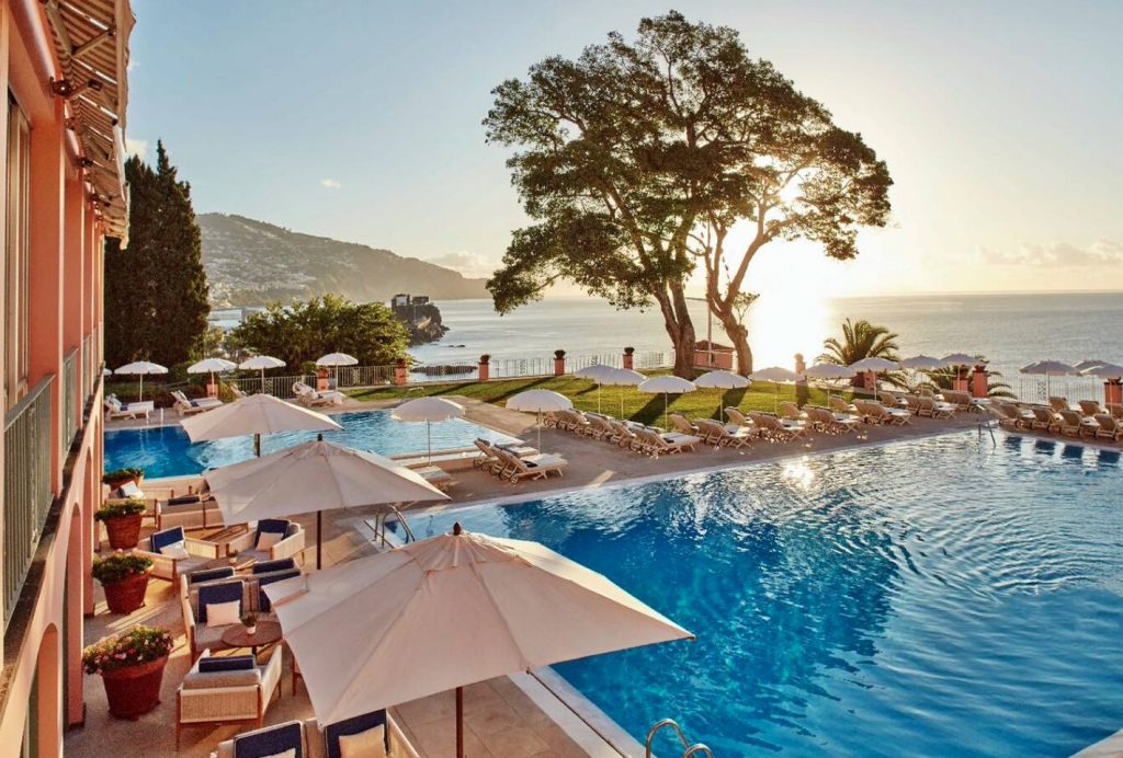
First on our list is Belmond Reid’s Palace. The legendary gem nestled in the heart of Madeira has been standing tall since its creation by the visionary Scotsman, Mr. William Reid, in 1891. This enchanting palace has witnessed history unfold as Sir Winston Churchill found solace in its tranquil embrace while painting and penning his war memoirs. Likewise, George Bernard Shaw danced his way to mastery of the tango within its walls.
Today, this timeless treasure continues to captivate the most discerning travelers. One of the most impressive parts of the hotel is its sprawling 10-acre expanse of lush sub-tropical gardens, boasting a mesmerizing collection of over 500 rare plants and flowers.
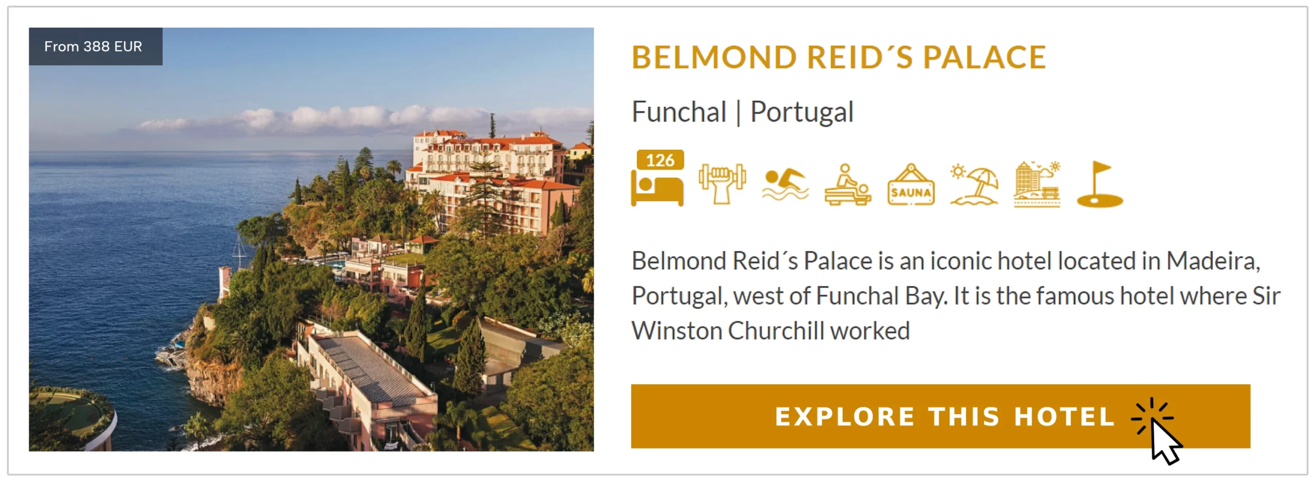
Each room and suite of this living museum exudes elegance and opulence. Expect adorned with balconies that open up to breathtaking views of the sea and gardens, a stunning and unique sight.
Belmond Reid’s Palace is not just a hotel; it’s a living piece of history. It is a haven for those who seek an extraordinary experience, where the echoes of the past mingle with the luxuries of the present, creating an unforgettable vacation for all who step through its majestic doors.
Belmond Cadogan Hotel, London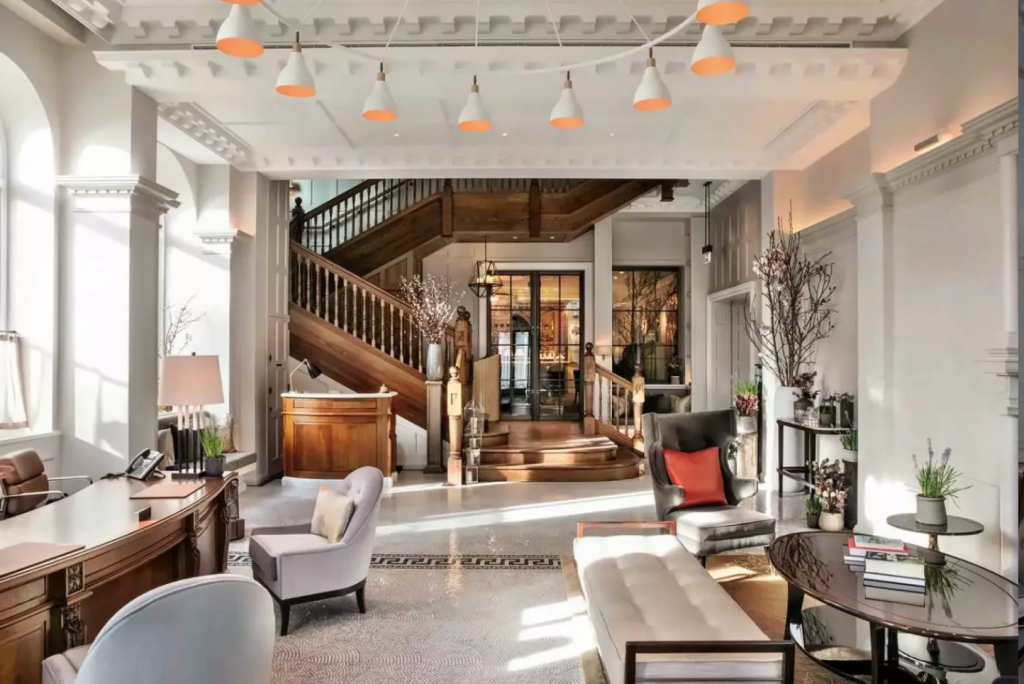
Where London’s cultural and social calendars converge, Belmond Cadogan Hotel celebrates British culture, design, and eccentricity. Nestled in the heart of the city, it offers 54 luxurious rooms and suites with sweeping views, fireplaces, dining areas, and indulgent baths. Private access through 21 Pont Street and a key to Cadogan Place Gardens make guests feel like Chelsea residents, immersed in London’s unique charm.
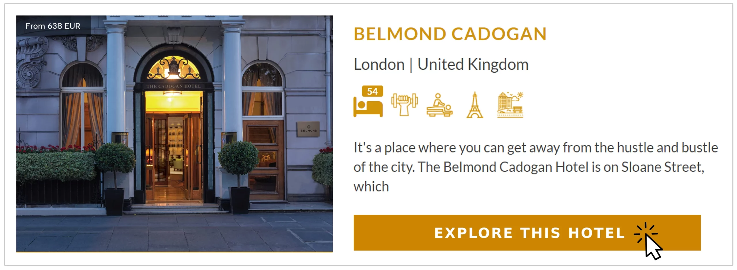
Here, every detail is meticulously crafted for an extraordinary experience. For guests seeking relaxation and wellness, there’s a dedicated well-being treatment room with state-of-the-art fitness equipment and free weights, catering to their every need.
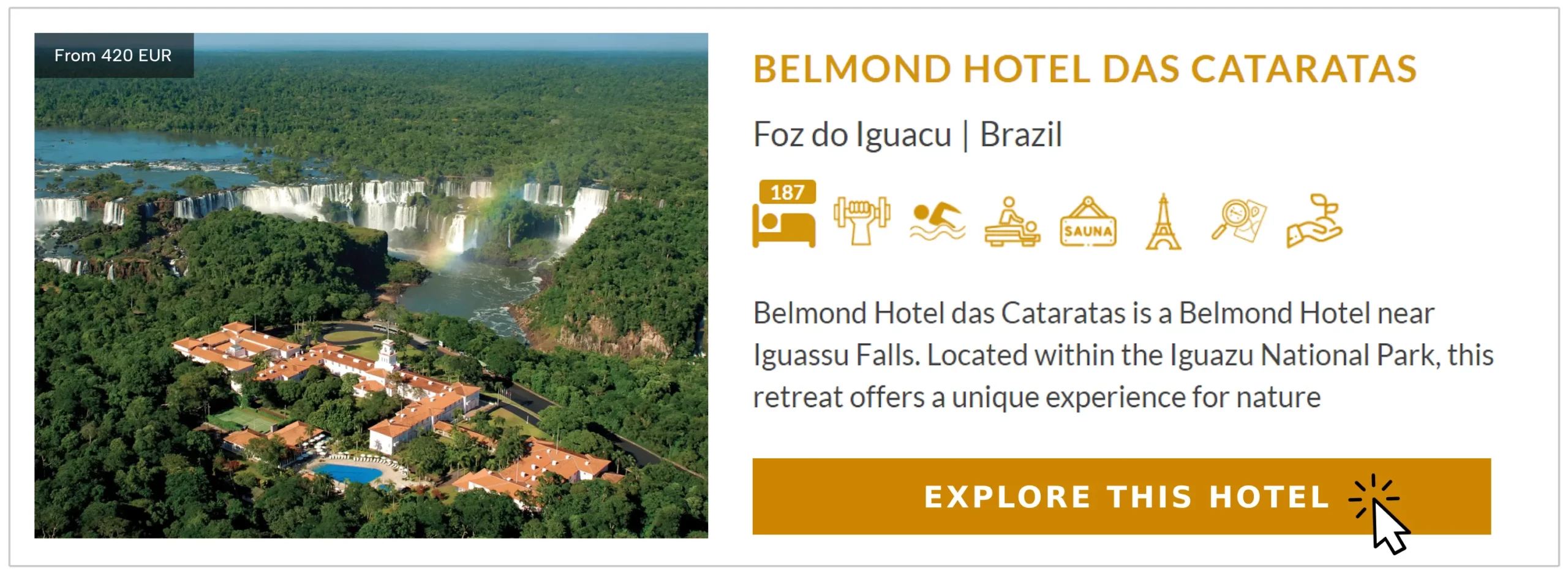
Belmond Hotel Das Cataratas, Brazil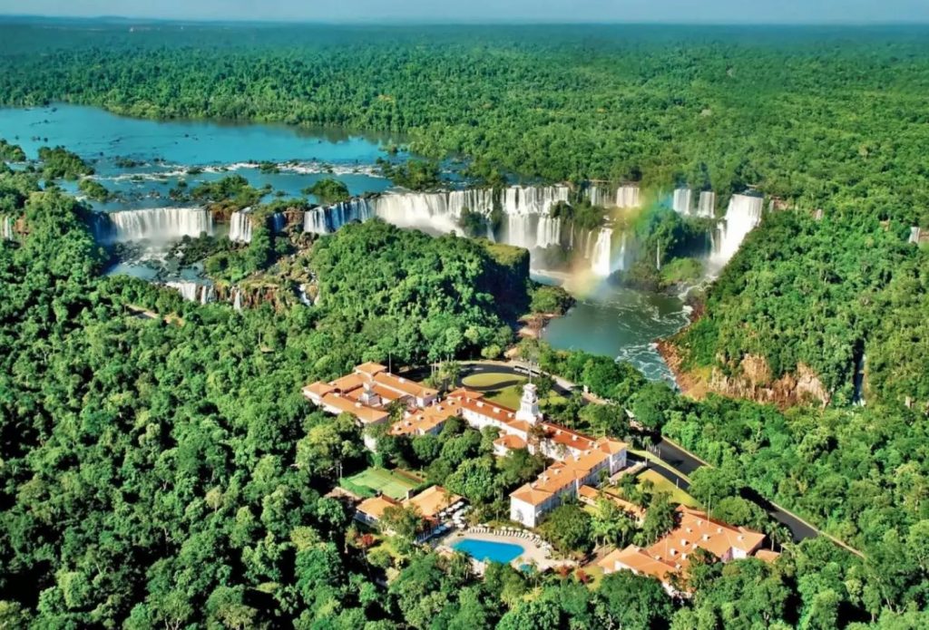
Nestled deep within the lush greenery of Brazil’s Iguassu National Park, the Belmond Hotel das Cataratas is a true oasis. As the only hotel within the park, it boasts an unrivaled location that allows guests to fully immerse themselves in the breathtaking natural beauty of the jungle.
The star attraction, of course, is the majestic Iguazu Falls, one of the world’s most spectacular waterfalls. Just a short stroll from the hotel, guests can witness the awe-inspiring cascade of water up close. The exclusivity of the hotel’s location also means that guests have special access to the park in the evening and at dawn when it’s closed to other visitors.
This allows for a truly magical and serene experience, surrounded by the magnificence of the falls and the jungle in its rawest form.
The Belmond Hotel das Cataratas itself is a classic luxury hotel, exuding an old-world charm with its Portuguese-colonial style. The ambiance is reminiscent of leisurely days spent lounging on a veranda or beneath the swaying palms of the sub-tropical gardens.
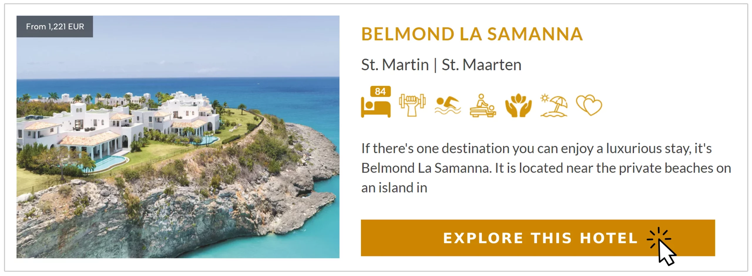
Belmond La Samanna, St Martin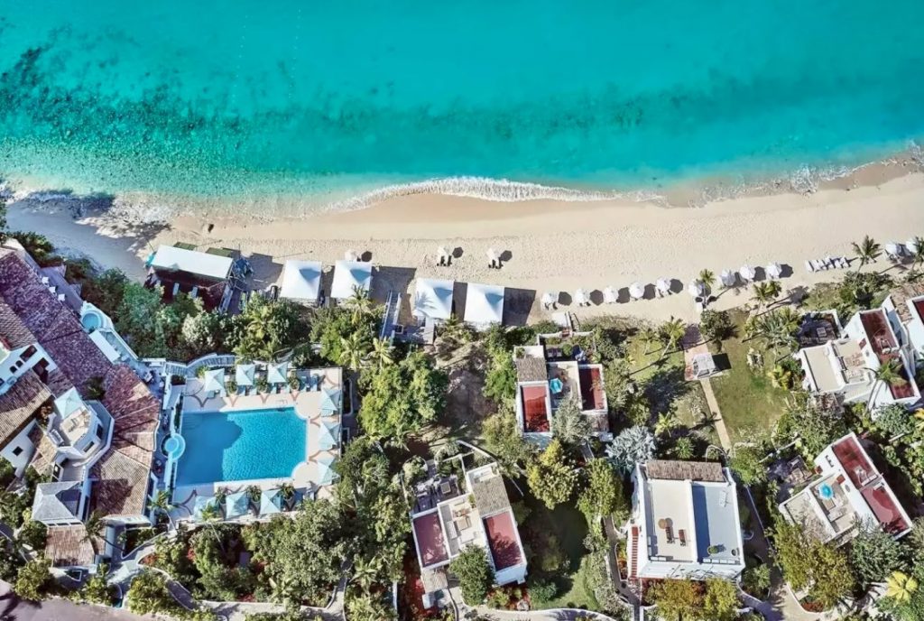
Set on the picturesque Baie Longue on the Caribbean island of St. Martin, Belmond La Samanna is an exclusive luxury resort with an air of timeless elegance. Its distinctive features include the stunning white stucco Mediterranean architecture adorned with lush tropical foliage, creating a serene and captivating atmosphere.
Spanning across 55 acres of meticulously landscaped tropical gardens, Belmond La Samanna offers a haven for both active and non-active vacationers. The resort’s pristine beach, fringed with powdery sands and turquoise waters, is perfect for unwinding and soaking up the sun. The inviting pool area is an ideal spot to enjoy a delicious lunch without ever having to leave the water’s cool embrace.
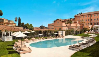
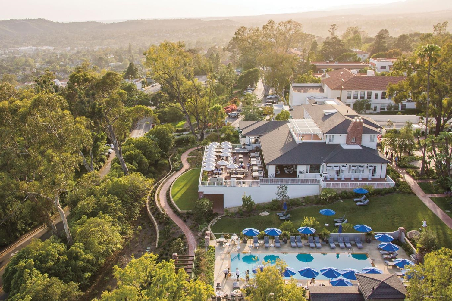
Belmond El Encanto, Santa Barbara, USA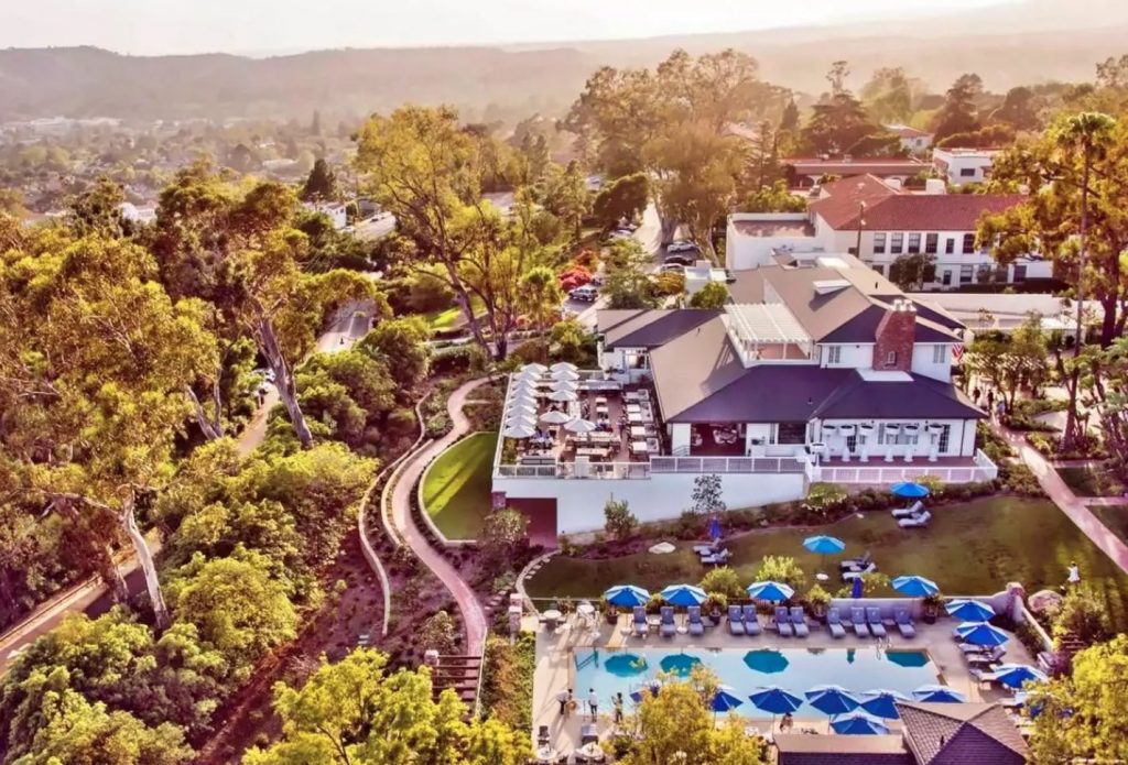
Perched in Santa Barbara hills, an iconic hideaway with stunning views of the American Riviera. Belmond El Encanto, a Forbes Five Star resort, opened in 1918 and is part of Santa Barbara’s social scene.
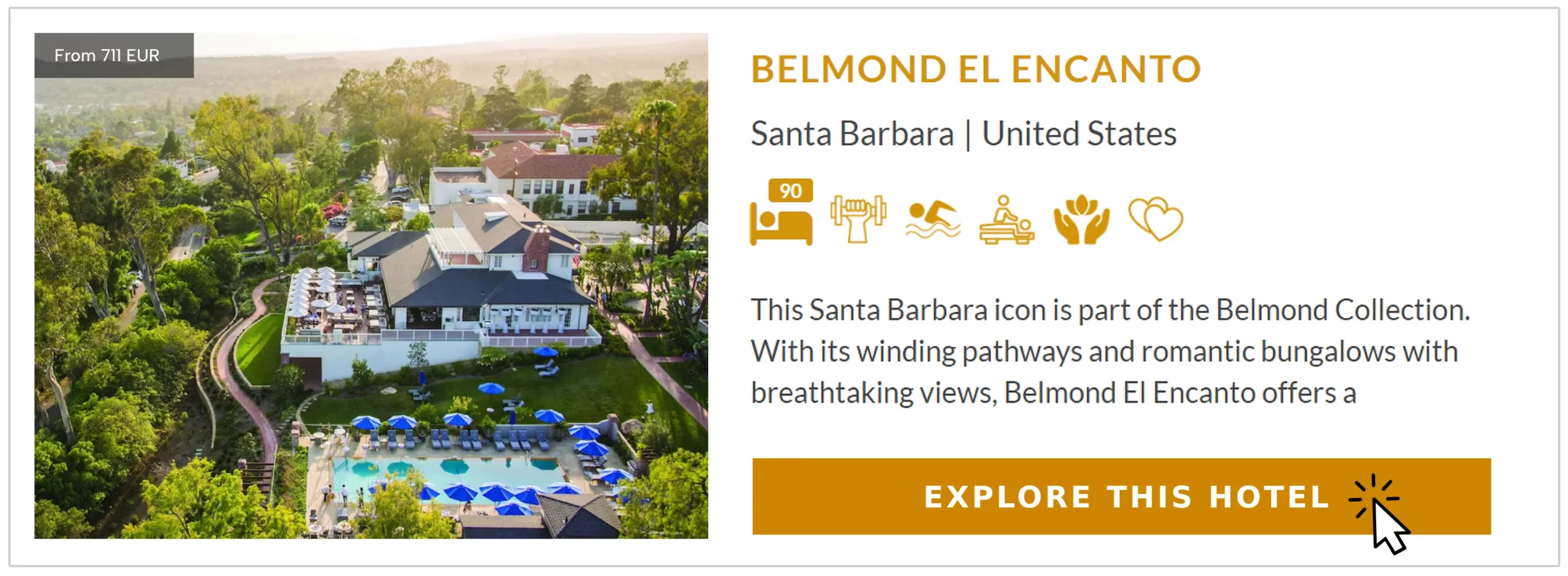
Spread across seven acres of secluded gardens, it offers 92 bungalow-style suites and guest rooms with sweeping views. Gleaming, glamorous, yet relaxed and low-key, it invites you to recline poolside, breathe in the ocean air, and sip local wine.
Belmond Hotel Splendido, Portofino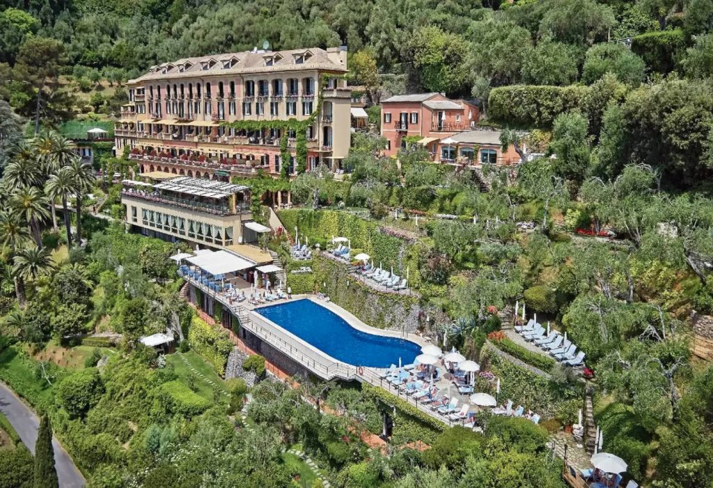
For over a century, Belmond Hotel Splendido has welcomed adventurers, aristocrats, and royalty to experience La Dolce Vita. A former monastery perched above Portofino, it’s a secluded hideaway with stunning harbor views. Belmond Splendido Mare, a newer addition, is an intimate retreat on the water’s edge. The two properties complement each other, just minutes apart by shuttle or a scenic walk.
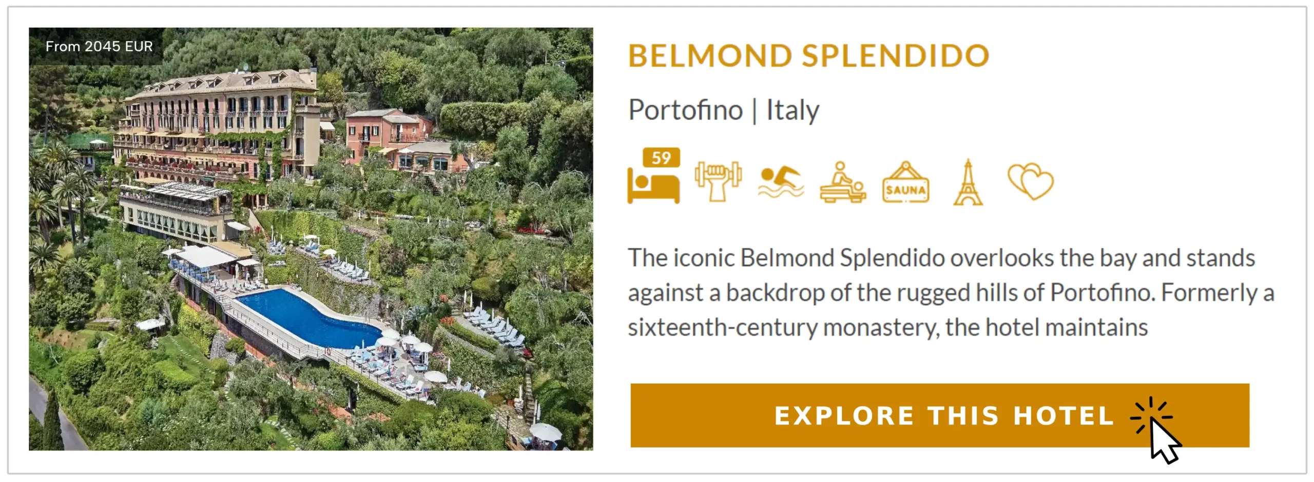
One of the highlights of Belmond Hotel Splendido is its terraced gardens, where guests can relax and revel in the breathtaking views over the harbor. The meticulously maintained gardens provide a serene and tranquil setting, perfect for enjoying a moment of peace or savoring a romantic sunset with a loved one.
Belmond Cap Juluca, Anguilla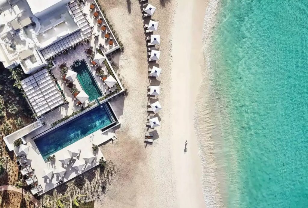
With its glamorous and idyllic setting, this resort is considered to have the best beach in the Caribbean. This makes it a favored escape for financial barons and A-list celebrities who seek the promise of anonymity amidst its pristine shores.
Recently completing extensive renovations, Belmond Cap Juluca has taken its already impeccable resort to an even higher standard of excellence. Its 23 whitewashed Moorish villas, capturing the Caribbean’s charisma, character, and charm, have been refurbished to enhance the guest experience and offer a truly luxurious stay.
Make your reservation through PrivateUpgrades and enjoy exclusive benefits!
Belmond Hotel Rio Sagrado, Peru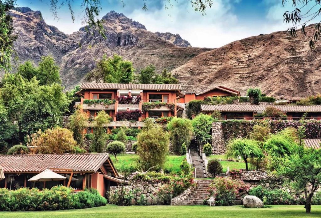
Another gem in Belmond’s portfolio is the Belmond Hotel Rio Sagrado, a truly unique luxury hotel that pays homage to the rustic charm of a traditional Peruvian village. Set amidst the majestic mountains of the Sacred Valley, this extraordinary property offers an ideal base for exploring the wonders of Cusco and Machu Picchu.
One of the distinctive features of Belmond Hotel Rio Sagrado is its location at a lower altitude compared to nearby Cusco, making it a perfect place to acclimatize and ease into the altitude of the Andean region. This allows guests to fully appreciate the breathtaking beauty of the surrounding landscape without compromising on comfort.
Belmond Savute Elephant Lodge, Botswana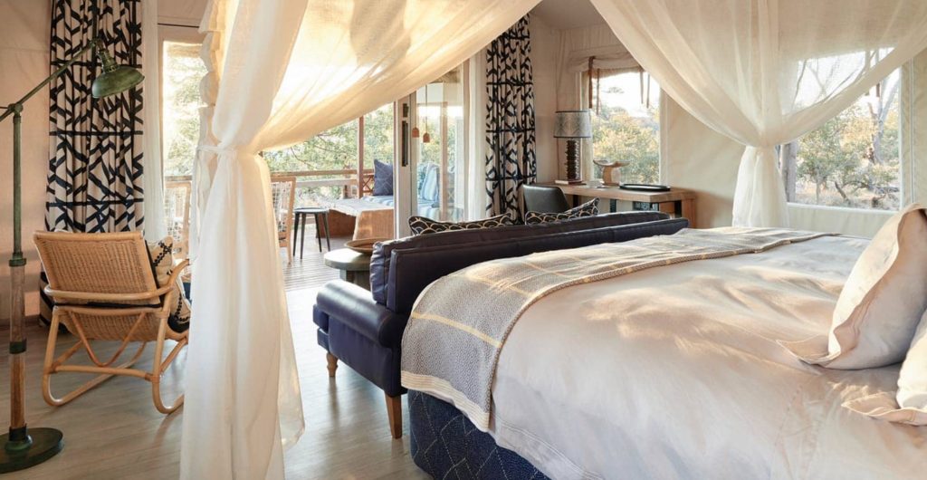
Belmond operates three extraordinary safari lodges that offer an unparalleled experience for the most seasoned of travelers.
The pinnacle of luxury awaits at Belmond Savute Elephant Lodge, the most opulent of the three lodges. Recently relaunched with a new eco-friendly design, this lodge boasts a luxurious spa where you can indulge in rejuvenating treatments and a viewing hide that offers unparalleled opportunities to observe the wildlife up close.
With its exquisite accommodations and impeccable amenities, Belmond Savute Elephant Lodge promises a truly indulgent and unforgettable experience.
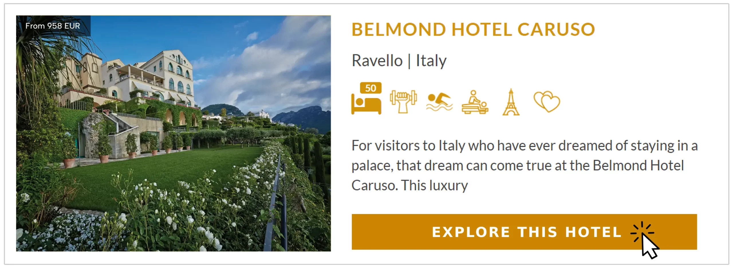
Belmond Hotel Caruso, Italy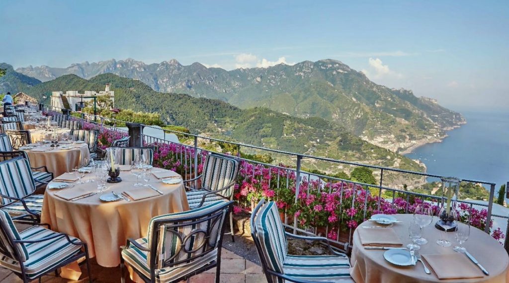
Once a majestic palace, the renowned Belmond Group has meticulously restored this luxury hotel. Now, every need of its guests is attended to with utmost care.
As you follow the 11th-century family who originally built this grand palace, you’ll be captivated by the exquisite artwork and craftsmanship that adorns its walls. With its commanding position on a cliff edge, standing 1,000 feet above sea level, the hotel offers breathtaking views of the sparkling sea, the charming town, and the magnificent Amalfi Coast.
End notes
At Belmond, your every whim and fancy is catered to with style and flair! But don’t just take our word for it. Book your dream vacation through PrivateUpgrades and see it for yourself. Reach out to our friendly team here.