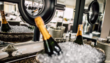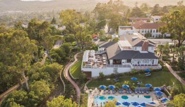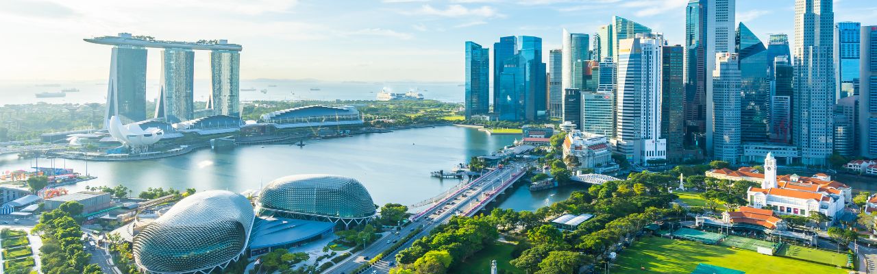
When you hear luxury, you may think of Singapore, an island country known for its designer shopping, world-class cuisine, and iconic hotels towering over the skyline. Many of these luxurious hotels feature rooftop infinity pools, exclusive spas, and fine dining options, elevating your trip, whether you’re visiting for business or pleasure. But, with so many options, you may not be sure what hotel is best for you. In this guide, we’ll explore the best luxury hotels in Singapore, where every detail is meticulously crafted to offer a lavish and unforgettable stay.
Best Luxury Hotels in Singapore
Check out some of the best luxury hotels in Singapore:
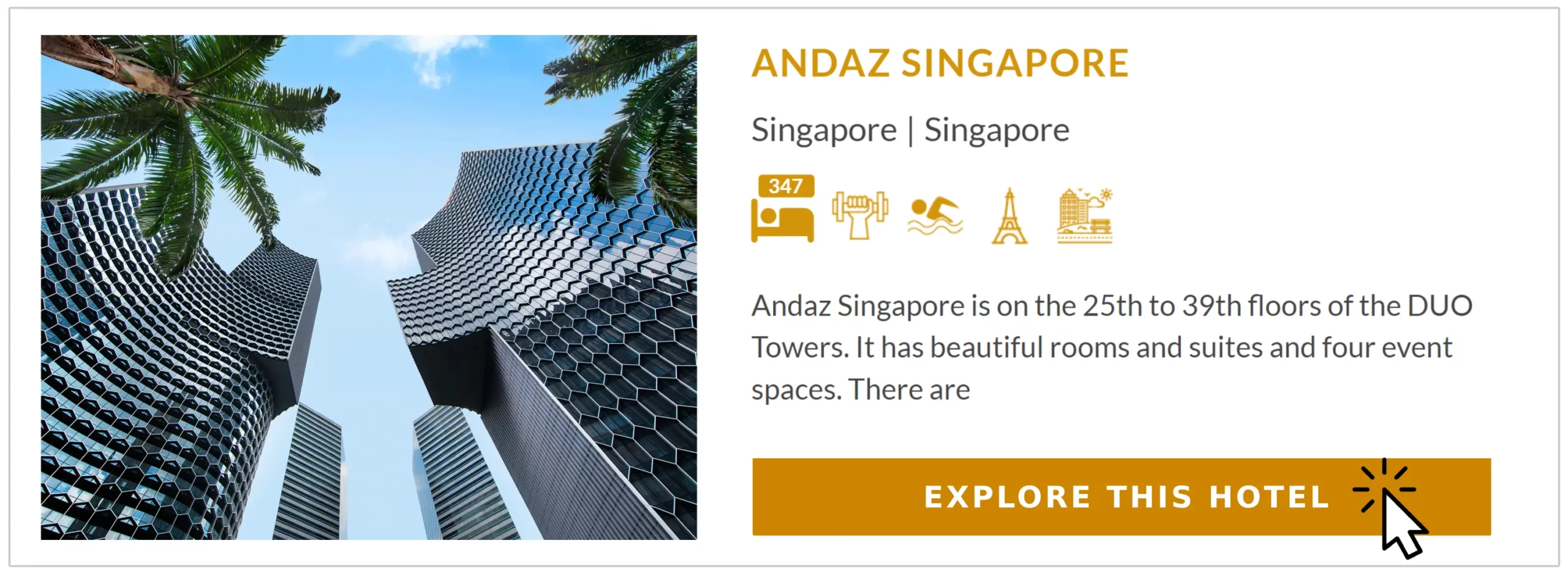
1. Andaz Singapore
Andaz Singapore, situated at the crossroads of the Little India, Bras Basah, Bugis, and Kampong Glam districts, is a five-star hotel that combines chic urban style with a touch of local culture. Housed in a 31-story tower, the Andaz is part of the Hyatt Hotels Corporation. Hence, it offers guests the same reliability, high standards, and luxurious amenities as any other Hyatt hotel you may have already stayed at.
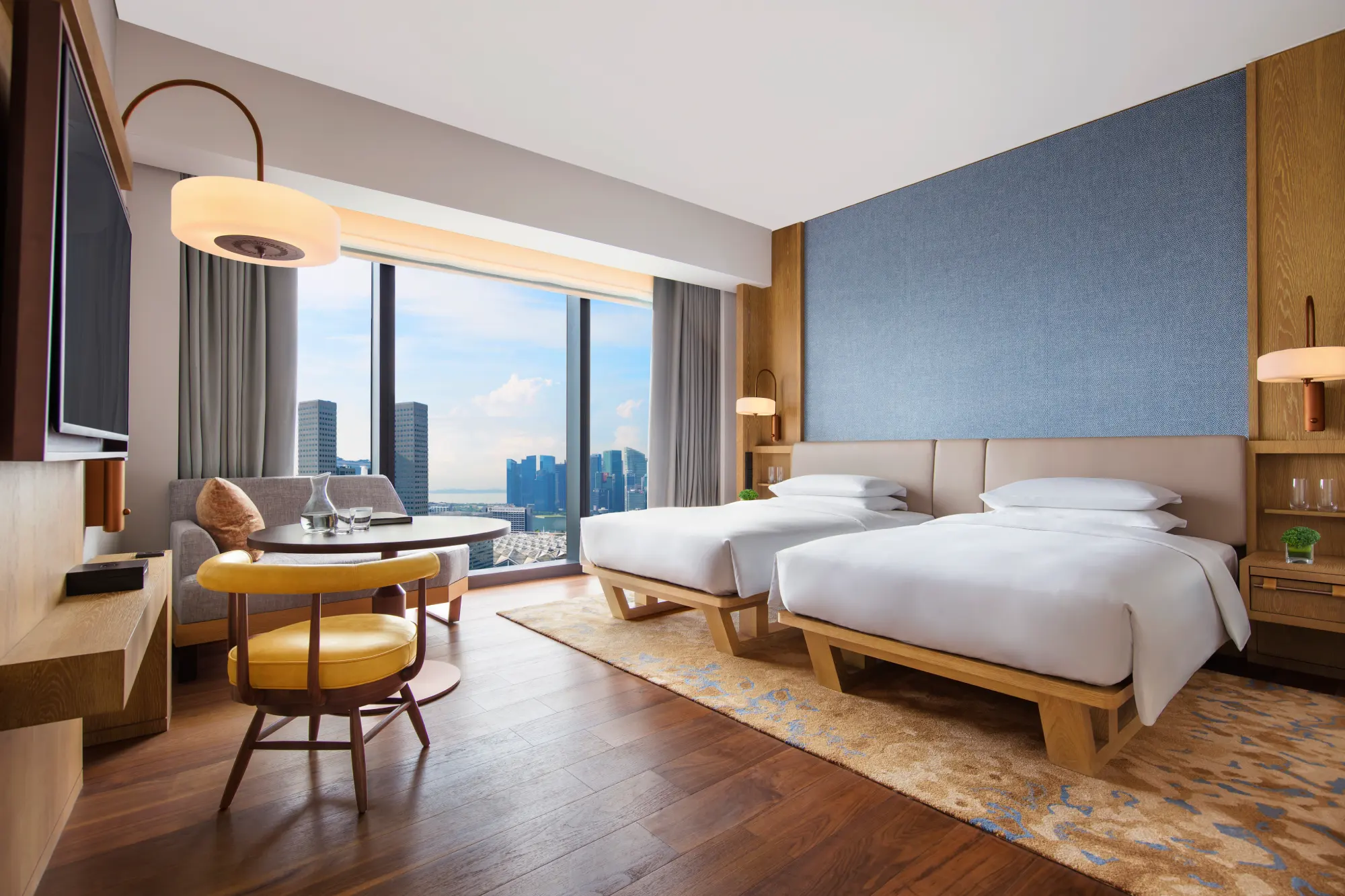
With over 320 André Fu-designed rooms and 27 suites, you will indeed find accommodation that suits your needs. Each room features floor-to-ceiling windows, offering panoramic views of Singapore’s futuristic skyline and the South China Sea. Get a better view from the rooftop infinity pool, which is perfect for beating the unrelenting heat in Singapore.
Choose from three on-site restaurants: 5 On 25 for refined Cantonese cuisine, 665°F for a meat-centric dining experience, or Alley on 25, a multi-cuisine dining venue.
There’s also Bar Square on level 25 for Asian-inspired cocktails and bar bites or Mr. Stork on the rooftop, an al fresco drinking and dining spot offering 360-degree views of the city below.
The Andaz’s central location makes it easy to visit landmarks like the National Museum of Singapore and Raffles City, a major shopping, dining, and entertainment complex. It’s also the perfect place to stay during Singapore’s Art Week in January, as you can easily access major art venues, like the Singapore Art Museum and Gillman Barracks, which feature exciting exhibitions and installations.
Arrive in style and book an airport limousine service through the hotel, or hop on the MRT (Singapore’s rail network) to Bugis Station, which is only a four-minute walk away.
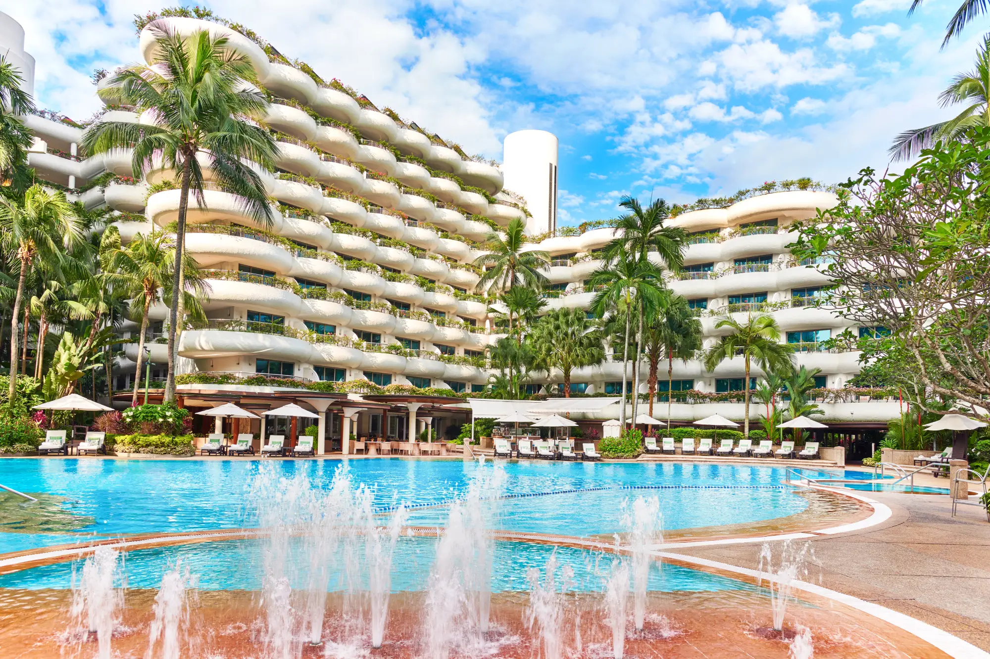
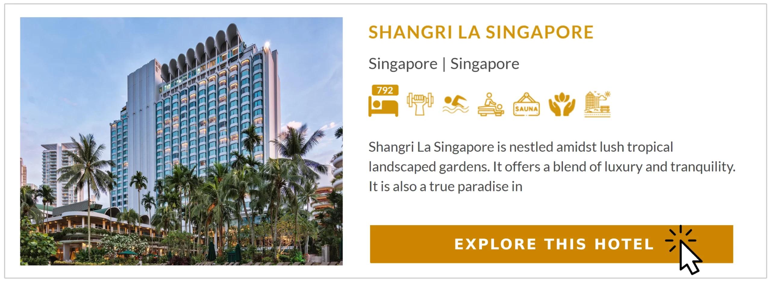
2. Shangri La Singapore
Nestled within 15 acres of lush tropical gardens, the Shangri La Singapore is an oasis in the city’s heart. If you like to shop, this is the perfect place to stay as it’s located close to Orchard Road’s high-end boutiques and luxury malls.
Orchard Road also comes alive with vibrant decorations, impressive light displays, and music at Christmas, so despite the heat, you can still enjoy the festivities if you’re visiting in December.
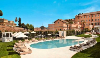
The Shangri-La Singapore boasts 792 luxurious rooms and suites spanning three distinct wings. While the Tower and Garden Wing are great, the Valley Wing is the choice for heads of state, captains of industries, and luxury travelers like yourself. This is because staying in the Valley Wing gives you access to VIP amenities like your own butler, breakfast in the exclusive Summit Room, and a private elevator.
The hotel also offers plenty of amenities that all guests can enjoy, like an outdoor pool in the garden, fully equipped fitness facilities with a sauna, steam room, hot whirlpool bath, relaxation areas, and a spa.
If you’re a foodie, you’ll be pleased to know that Shangri-La is home to a Michelin-starred restaurant, Shang Palace, where you can enjoy exquisite Cantonese cuisine.
The hotel is only 20 minutes away from the airport, so it is easily accessible by hotel limousine, taxi, or MRT if you alight at Orchard Station and either board the hotel shuttle bus or walk for 15 minutes.
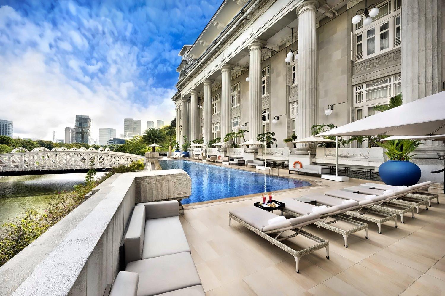
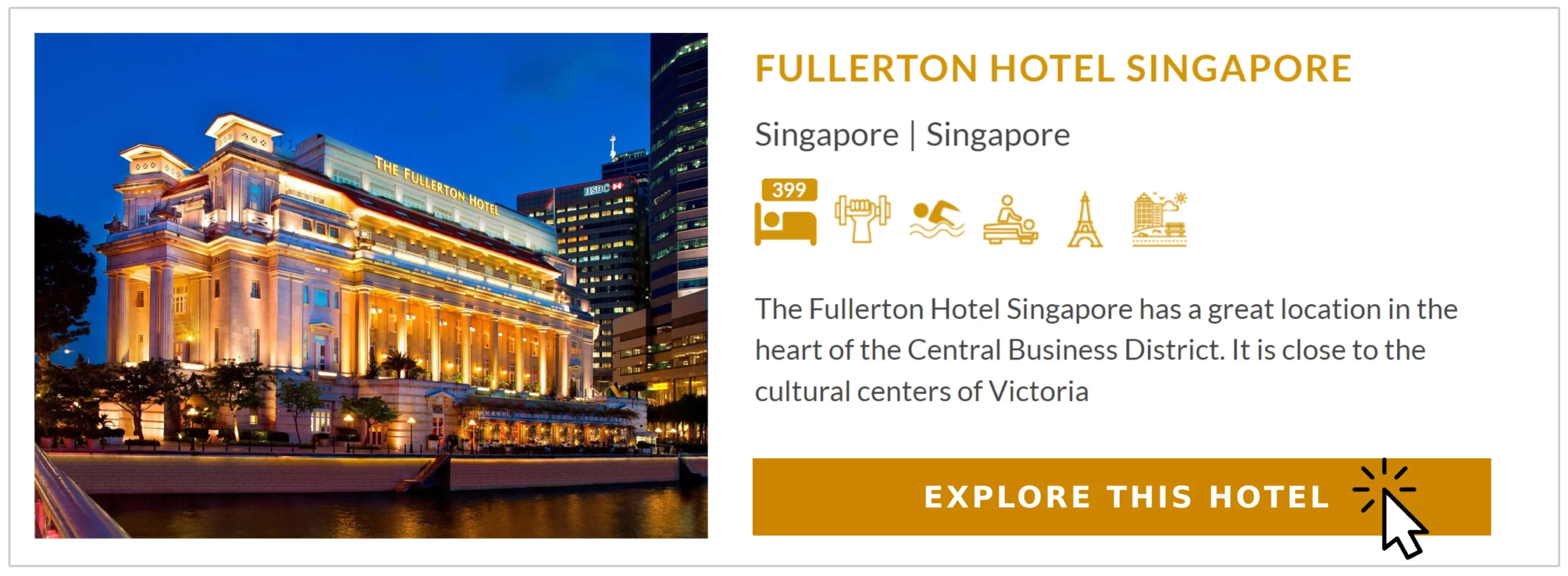
3. Fullerton Hotel Singapore
History buffs may want to consider staying at the Fullerton Hotel Singapore. It’s housed in a majestic neoclassical building that once served as the General Post Office until officially converted into a hotel in 1997. Now, it’s one of the most luxurious hotels in Singapore, with over 400 elegant rooms and suites.
You can choose a room or suite based on your desired view, as the hotel overlooks Marina Bay, the Singapore River, and the Central Business District. But, if you want the best room possible, book the Fullerton Suite on the highest floor. It has amenities like a huge private balcony, butler service, a pillow menu, and shoe-shining services.
The hotel has many facilities outside the rooms, including an outdoor infinity pool, spa, gym, and heritage museum. Many boutiques are on-site, selling things like whisky, wine, national stamps, artwork from established and upcoming contemporary artists, and gems. You can even find a hair salon within the hotel if you need a cut or elegant style.
If you want something to eat, head to one of Fullerton’s four eateries, like The Courtyard, for afternoon tea or Jade to indulge in authentic Chinese cuisine.
With its proximity to the Singapore River and Clarke Quay, staying at the Fullerton provides easy access to Singpore’s annual food festival in October. You’ll also be able to navigate to different landmarks across the country as you’re only a four-minute walk from the Raffles Place MRT Station.
4. Raffles Hotel Singapore
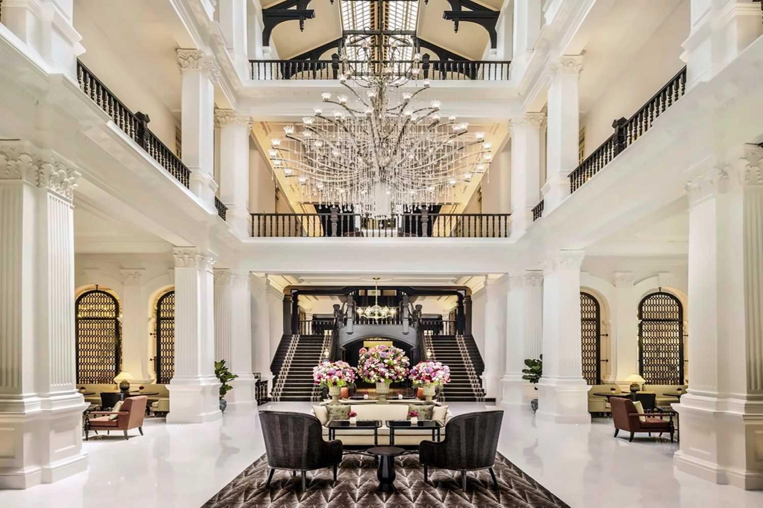
As one of Singapore’s most iconic landmarks, Raffles Hotel Singapore, which first opened in 1887, offers a luxurious and nostalgic experience, blending traditional grandeur with modern comfort. The hotel is renowned for its grand colonial architecture, featuring neoclassical design elements and expansive verandas, so it’s easy to spot on the skyline.
Raffles Hotel only offers suites, so you’ll have plenty of room, especially with the original 14-foot-tall ceilings. Every suite also comes with its dedicated butler service, ensuring your needs are met with the utmost care and attention.
Within the grounds, you’ll find the Raffles Arcade, a refined selection of high-end boutiques, specialty stores, and gourmet dining options. And, you’re ideally located right in front of Marina Bay, so landmarks like Merlion Park and the Esplanade – Theatres on the Bay are just steps away. This location is also perfect for people visiting during the Dragon Boat Festival in May, as you’ll be in the middle of the action.
Four on-site restaurants and three bars serve food and drinks, including the renowned Long Bar, which invented the Singapore Sling, a classic cocktail, in the early 20th century.
When you’re ready to leave the hotel, explore on foot or take the MRT to one of the three nearby stations (City Hall, Esplanade, or Raffles Place) to reach different neighborhoods.
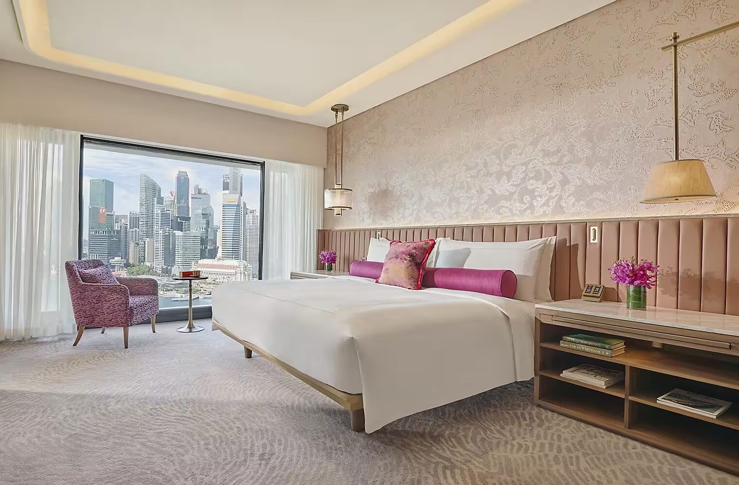
5. Mandarin Oriental Singapore
Another five-star hotel in the Marina Bay area is the elegant Mandarin Oriental Singapore. Known for its fan-shaped design, the hotel features 527 rooms and suites, each designed with contemporary elegance and Asian-inspired décor.
No matter where you are in the hotel, you will surely get a stunning view of Marina Bay Sands, the city skyline, or the Singapore Flyer. But, if you want a view of all three, book the Royal Marina Bay Penthouse on the uppermost floor with a private balcony.
Those visiting in September when the Singapore Grand Prix is on will have the ultimate view as many rooms overlook the track.
The outdoor pool, surrounded by lush greenery and featuring private cabanas for added luxury, offers a great view of the Marina Bay Sands.
If you’re a fitness freak, you’ll love the 24/7 gym and range of wellness activities, like yoga classes, sound healing, and pilates. After your workout, you can refuel at the international buffet for lunch or dinner or visit one of the nine other restaurants and bars. There’s also an on-site cake and pastry shop for those with a sweet tooth.
Become a VIP Member Today and Book Your Stay!
Elevate your next luxury hotel experience with PrivateUpgrades, the exclusive travel club that transforms every stay into a VIP experience. With over 20 years of expertise, our members-only service provides unparalleled access to luxury accommodations and exclusive perks. As a PrivateUpgrades member, you’ll enjoy significant upgrades, added amenities, and special discounts at some of the world’s most prestigious hotels. Don’t settle for the ordinary—book your next stay through PrivateUpgrades and experience the luxury and service that will make your dreams a reality.